Winter Weather, Lake Effect Snow Advisories Through Tuesday Morning for Central New York
A Winter Weather Advisory remains in effect through 4:00pm today. Then a Lake Effect Snow Warning will be in place through 1:00am Tuesday, January 11, 2022.
The Lake Effect Snow Warning affects both northern and southern Oneida, including the cities of Boonville, Rome, and Utica.
The National Weather Service (NWS) says patchy and freezing drizzle will persist through the afternoon and cautions that "(icy) patches may develop even in places were the air temperature is above freezing, as ground temperatures remain very cold. Additional accumulation will be a light glaze." That glaze will make for hazardous road conditions.
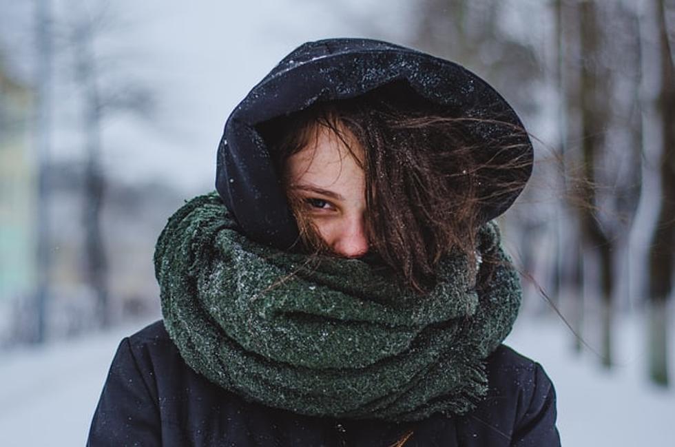
NWS officials warn that "(travel) will be very difficult to impossible tonight and Monday. The hazardous conditions will impact the morning and evening commutes Monday." Because of this the Governor's Office has issued a travel advisor, and Governor Kathy Hochul said, "I'm urging everyone in impacted areas to avoid unnecessary travel today and tomorrow as we continue to experience a mixed bag of snow, wind and icy conditions."
Lake effect and heavy snow is also expected east of Lake Ontario on Sunday night Two accumulation of two feet is possible in some areas. Wind gusts could be as high as 35mph through Monday night.
The areas most likely to be affected by snow accumulation and wind are Western New York, the North Country, Central New York, and the Mohawk Valley.
According to the NWS snow accumulations of between 10 to 20 inches are expected in northern Oneida County, and six to twelve in southern Oneida County.
The Governor said, "...(Our) crews will continue working around the clock to keep our roadways as safe as possible."
For the remainder of Sunday afternoon, January 9, 2022, there is a seventy percent chance of rain with cloudy skies and a high near 38-degrees Fahrenheit.
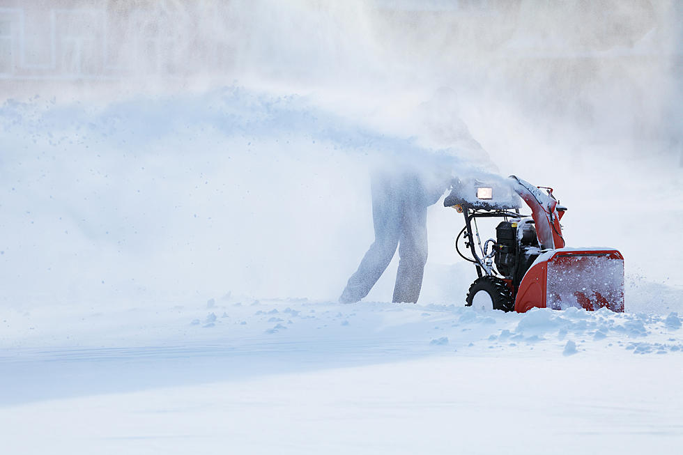
On Sunday night snow is expected in the overnight hours, with heavy snow - and areas of blowing snow - at times. The low temperature will hover around 15-degrees. Wind gusts as high as 37mph are expected with new snow accumulation in the lower elevations of approximately three inches.
On Monday morning intermittent heavy snow is expected with areas of blowing snow and an expected accumulation in lower elevations of approximately two inches.

Monday's high in the Central New York region is 18-degrees, with a low of minus eleven degrees. The wind chill values, especially in higher elevations, could exceed 18-degrees below zero.
At the present time there are no warnings in place for the mid-morning hours on Tuesday. The high is just seven-degrees. Tuesday night partly cloudy skies with little precipitation is expected. The low will hover near two-degrees below zero.
More snow is in the forecast for the latter part of the week.
Have You Tried These 10 Great Snow And Ice Removal Hacks?
Gallery Credit: Kadie Daye, Getty Images
KEEP READING: Get answers to 51 of the most frequently asked weather questions...
LOOK: The most expensive weather and climate disasters in recent decades
Gallery Credit: KATELYN LEBOFF
More From WZOZ