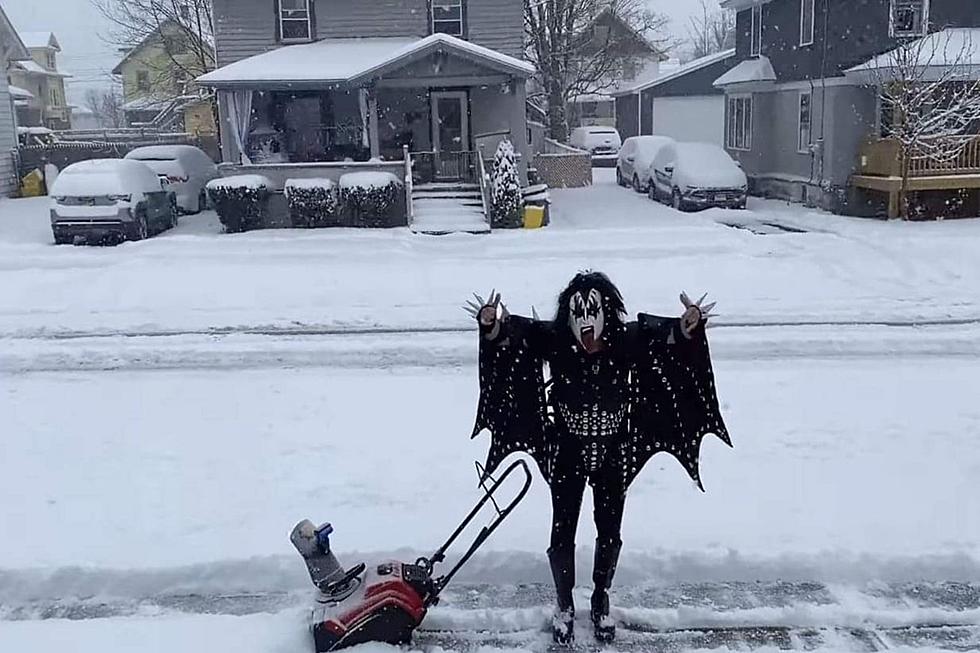
Significant Winter Storm Coming But It’s Too Early to Tell If It’ll Hit CNY
There's what the National Weather Service is calling a 'significant winter storm' on the way, but it's too early to tell if it'll hit Utica, Rome and the central New York region, giving up a white Christmas.
There's is the possibility of a few inches of lake effect snow showers tonight, into early Tuesday morning, mainly in Central New York. "For now, forecast snow amount for this brief lake effect event are fairly conservative with about 2 inches," the National Weather Service says. "However, if a band could persist for a couple hours over the same area, then some localized snowfall amounts up to 4 inches could be possible."
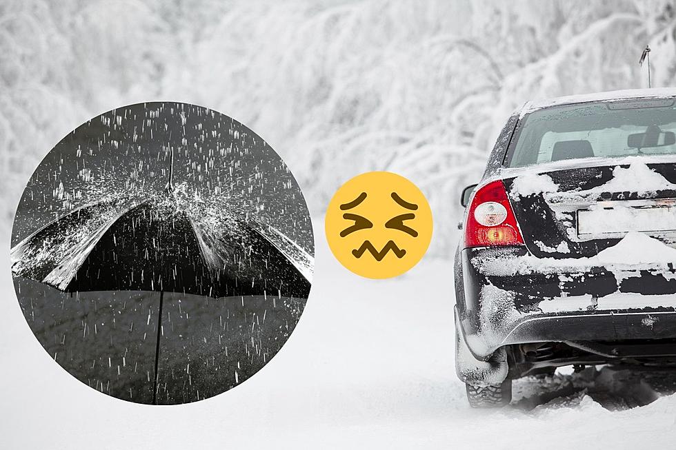
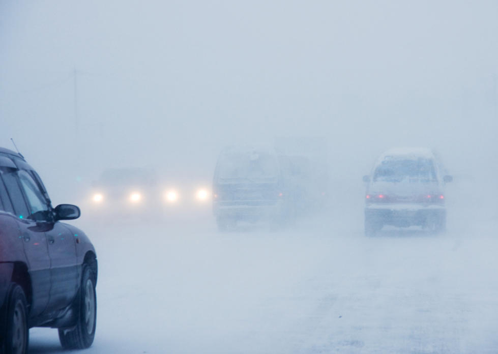
A strong storm could bring even more snow Wednesday afternoon into Thursday. The Weather Service says a A potentially significant winter storm will take shape across the Ohio Valley and along the Mid-Atlantic coast by Wednesday afternoon. There is a protentional for heavy snow band(s) where the snow does fall. "With cold air around and temperatures well below freezing Wednesday, once any snow starts it would quickly accumulate and cover any untreated surfaces potentially making for messy Wednesday evening and Thursday morning commutes."
For now, the National Weather Service says the storm would need to take a sizable shift north to reach watch/warning levels. "Forecasts should still be monitored closely as we draw closer to Wednesday."
Will we have a white Christmas in central New York after all? Only time will tell. Time and Mother Nature.

9 Places to Go Snow Tubing in New York
More From WZOZ