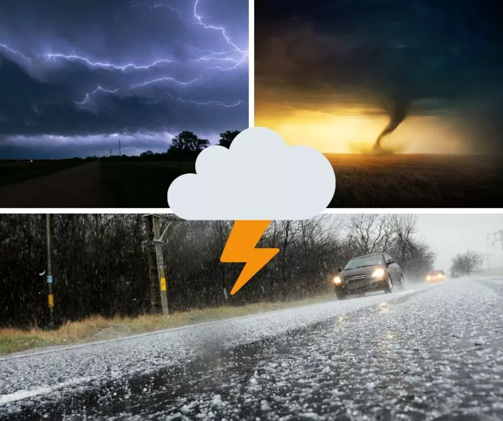
Hazardous Weather Alert for Today Into Tomorrow morning
The National Weather Service in Binghamton has issued a Winter Weather Advisory and Hazardous Warning alert for our area Today beginning at 11:00 a.m. through tomorrow morning at 7:00 a.m.:
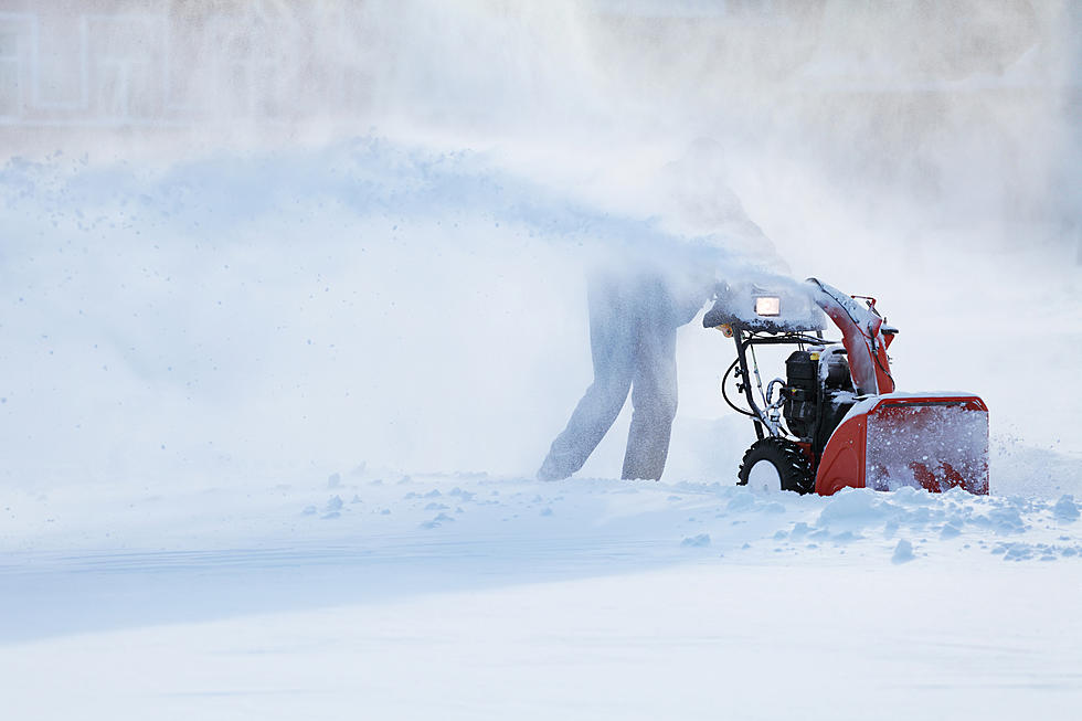
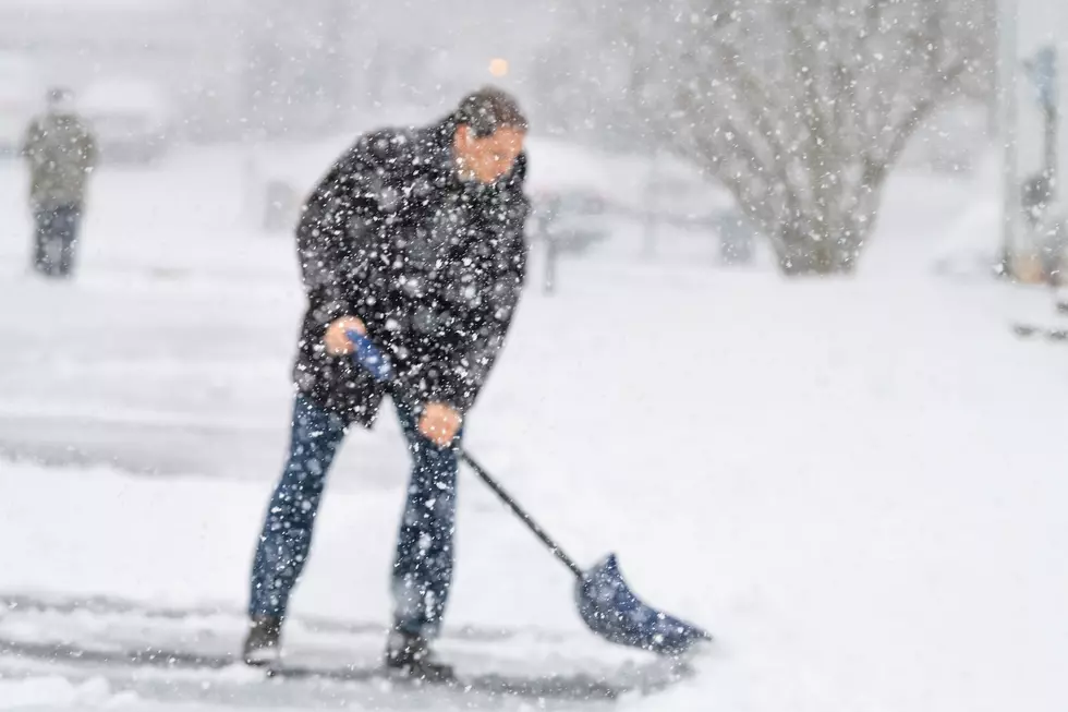
This Hazardous Weather Outlook is for Central New York including Otsego, Delaware
and Chenango Counties:.

Tuesday through Sunday.

A storm system will spread light snow into the region on Tuesday and
Tuesday night. Most areas will see 2 to 3 inches of snow, but
localized areas of 3 to 5 inches will be possible. At this time, the
heavier amounts appear more probable from the northern Finger Lakes
region northward towards the New York Thruway corridor and the
southern Tug Hill. Snow may mix with sleet or freezing rain across
the Southern Tier and the southern Finger Lakes, which may keep
snowfall amounts down a bit. Monitor the forecast for updates.

A surge of Arctic air may bring scattered snow showers and squalls
to the area Thursday into Friday, enhanced in areas southeast of the
Great Lakes.
There are some area schools that are either dismissing early today or are closed due to the weather. CLICK HERE for the latest information.

Enter your number to get our free mobile app
KEEP READING: Get answers to 51 of the most frequently asked weather questions...
More From WZOZ